
Today, ROADMENDER is launching a new and first of its kind national micro-initiative. Welcome to ROADMENDER Spark! This initiative was borne out of the desire to add to the culture of collaboration by creating a platform for emerging young professionals who already have strong collaborative instincts and want to connect with colleagues across Australia (and beyond). The idea emerged from a conversation with Carla Granozio (Melbourne) whose passion for collaboration is inspiring and is also a strong indication of what we might expect in Australia in the very near future. Roadmender Spark! will start with a series of guest blogs from a group of enthusiastic professionals from Adelaide, Brisbane, Melbourne and Sydney. We trust that these blogs will serve as conversation starters and lead to much more. To ensure easy communication, the project will soon include a Facebook page as well. The first guest blog is by Brisbane based Marissa Powell from ARUP. Marissa is providing her insight into the work that is needed when one is concerned with social engagement in environmental context. For more on the project read on…
I’m a member of the Integrated Environments Group in ARUP’s Brisbane office. In my role as a social and engagement specialist, I work with stakeholders and communities during the planning and implementation of built environment projects. Some of my projects land in places with an established community, in some places people have no connection to each other and some projects turn out to be the glue which actually brings a community together.
I’m interested in how we ‘build’ community into new and established places and how we maintain or get people interacting with each other in a more meaningful way within the places and spaces we design. Engaging with stakeholders and the community is essential for spatial planning on any scale. It’s a process we can improve by using technology to gather and map people’s feedback.
I’ve spent much of my working life talking to people about built environment projects. As an engagement specialist I’m always asking myself – how can we better engage with communities about projects that affect them? How do I make sure that the technical team takes this input into consideration? And as a consultant, how do I get all this to fit within the project’s budget?
Over the years I’ve seen that people who participate in stakeholder and community engagement activities generally fit into one of three categories – retirees and people with time on their hands, people who stand to lose something of value to them and people who are passionate about a cause or issue. They are the ultra-motivated, the people who turn up to meetings and displays and, unfortunately, the people who skew our engagement data as they are not representative of the broader population.
The rest think “I should get involved but I’m too busy” or “that’s kind of interesting, but not enough to make me do anything”. Maybe they planned to get involved but forgot or maybe they’re oblivious to the entire situation. These are the people that we’re missing through traditional engagement approaches, yet they are the most important if we’re to ensure more representative input is fed into our planning processes.
To engage these people we have to understand how to make it easy for them to participate in the discussion – especially when they are usually time poor, they want to give and get information quickly and they now carry their digital life with them wherever they go. I’ve also found that it’s time consuming, and often difficult, to translate rafts of qualitative data gained through engagement processes into something meaningful that we can use to inform planning decisions.
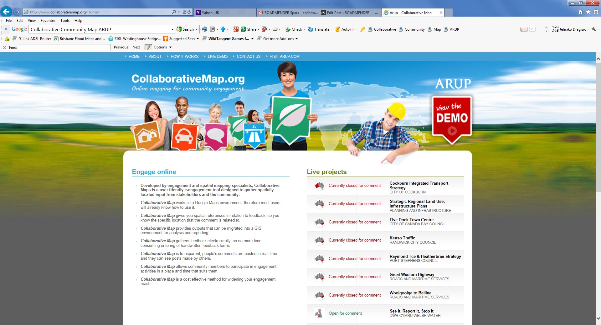
To address these two issues I’ve been working with a team of software developers and spatial mapping specialists for the past few years to develop an online engagement tool that allows people to provide meaningful input into spatial planning projects. Collaborative Community Map allows people to participate in engagement activities and add their comments to the map from their own computers and devices, rather than having to set aside time to come to a workshop or meeting.
Online engagement doesn’t replace traditional face-to-face methods; some stakeholders and communities will still want to be involved in this way. But it does open up your engagement programme to those you would otherwise have missed. For example, I went to a youth event (a skate competition) in a town where we are doing engagement work armed with an iPad and Collaborative Map. The kids who would usually not say anything in an engagement process were using the tool to input their ideas for their town.
By gathering spatially located data, technology can help project teams map constraints and concerns associated with planning and design proposals. These can then be drawn into a GIS environment for further analysis and visualisation.
This approach is helping me to do my job better as more people are getting involved in engagement activities and I’m bringing better and more useable data back to my technical teams.
For more about Collaborative Community Map visit here.
Stay up to date with Roadmender by clicking on the ‘Follow’ button, below right.
Categories: CSR Ideas, Resources, ROADMENDER Spark
